Future Aerial rethink spatial data for businesses, enhancing projects and reshaping the future with lessons learned from a wealth of experience using drones in industrial environments.
Spatial datafor businesses
Future Aerial rethink spatial data for businesses, enhancing projects and reshaping the future with lessons learned from a wealth of experience using drones for 3D data visualisation in industrial environments.
Future Aerial rethink spatial data for businesses, enhancing projects and reshaping the future with lessons learned from a wealth of experience using drones for 3D data visualisation in industrial environments.
our data services
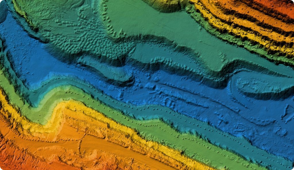
Lidar
Our LiDAR (Light Detection and Ranging) mapping capabilities allow us to record asset condition and map vegetated sites. With the ability to ‘see beneath’ vegetation, our surveys deliver consistent high quality…
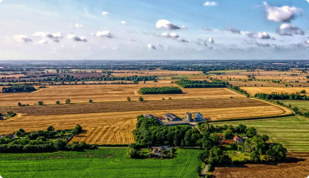
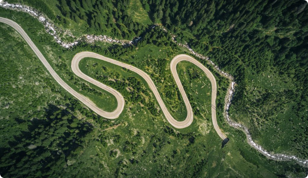
Aerial photos underpin much of the complex 3D mapping that we carry out here at Future Aerial, but make no mistake, these high-resolution images can be an indispensable form of data acquisition…
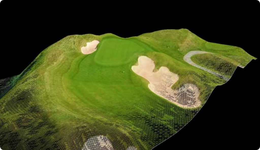
Using specialist computer software, we combine high resolution imagery and accurate GPS positioning data to recreate a site in 3D. Point clouds are regularly used in design and build projects, whether that is…
Orthophotos are a geometrically corrected or “ortho-rectified” image file that are similar to what you might find on Google Earth. However, orthophotos provide a far superior spatial and temporal resolution…
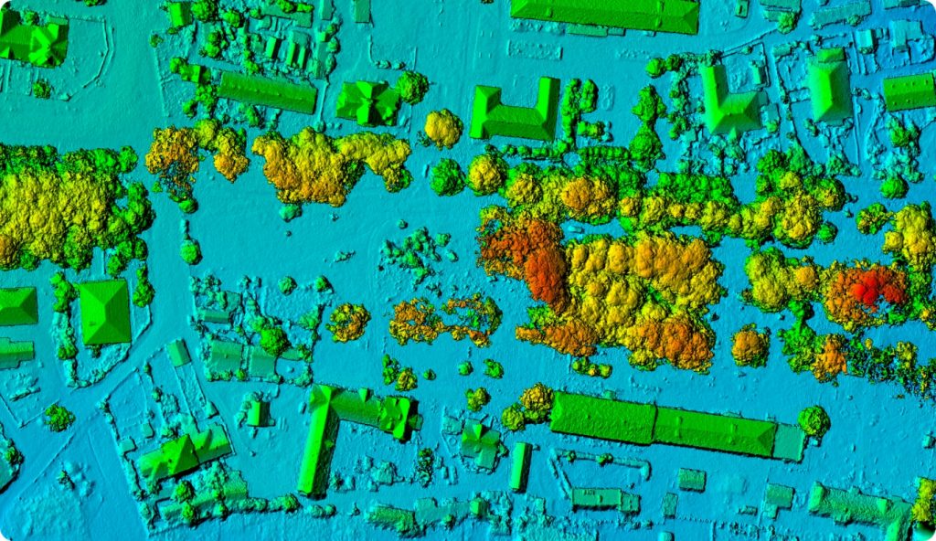
A Digital Elevation Model (DEM) is a 2D image file, where each cell in the image has an elevation assigned to it. When brought into a Geographic Information System (GIS) software package such as QGIS…