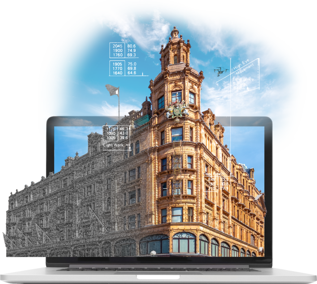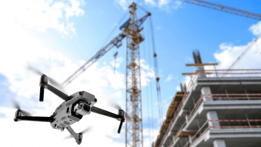

Accessing roofs and facades of buildings can be both costly and time consuming, with feasibility constraints for even the tallest cherry pickers. Our permission from the Civil Aviation Authority allows us to use drones to survey buildings, even in central London.
High-resolution drone imagery can provide a complete data set for a building, from stitched together photos of a facade, to full 3D models. With our fleet of small lightweight drones, we are able to safely get up close to buildings and collect data for clients to review from the comfort of their home or office.
We are able to deliver georeferenced inspection imagery via online apps, providing location awareness to our clients. By understanding where each image was taken, users can mark up defects online and automate their maintenance reporting.
For accurate, reliable, stress free building surveys, get in touch today.